City Hiking on Galloway Creek Trail
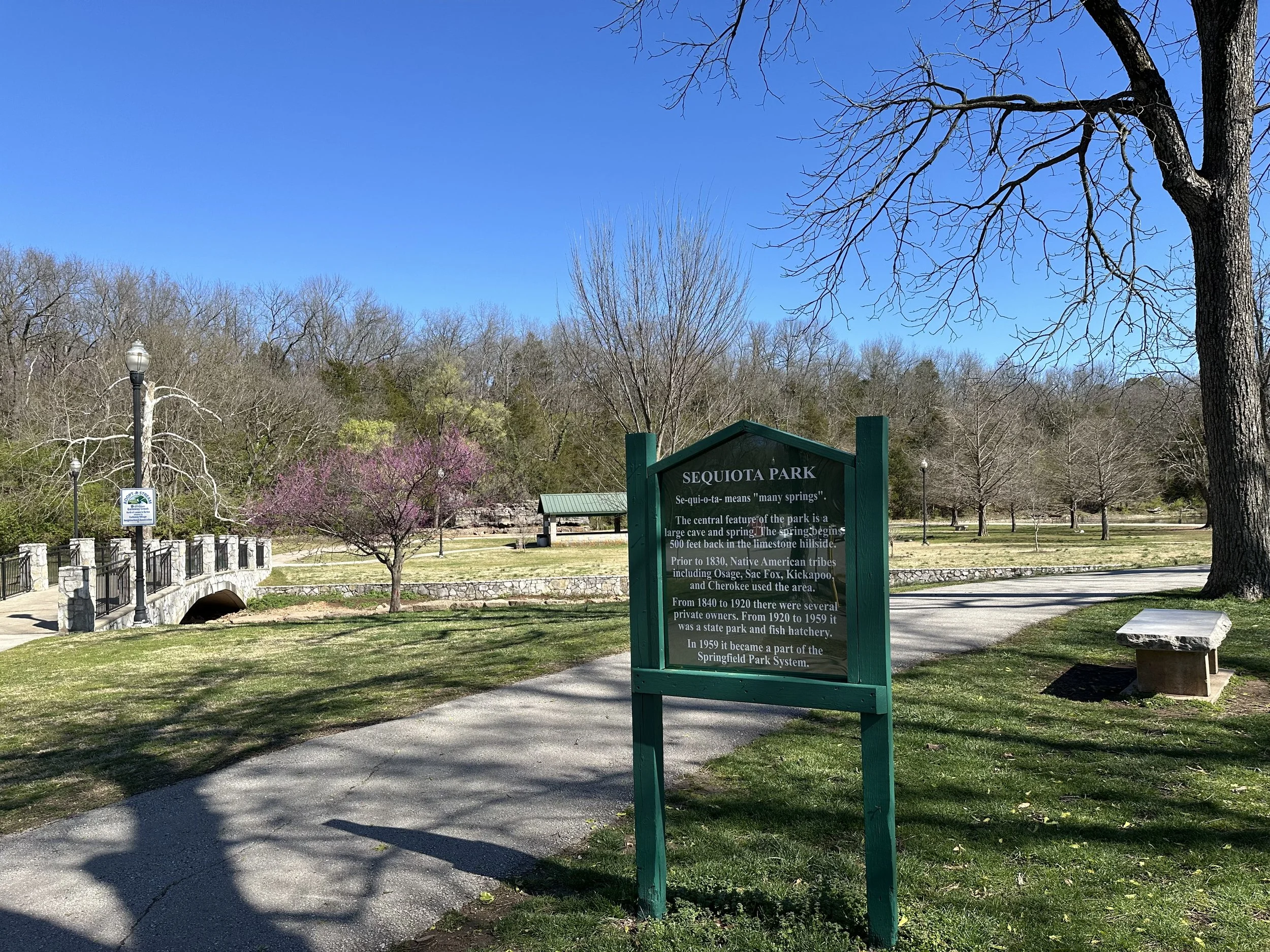
There’s something for everyone on the Galloway Creek Greenway Trail. This five mile trail roughly follows Lone Pine along the southeastern edge of Springfield from Pershing School to Old Iron Bridge near the Nature Center. There are several parking areas along its path, the most scenic and convenient likely being Sequiota Park, which is where I started from last week with my collie dog, Birdie.
Recognized by the National Park Service and American Trails as a National Recreation Trail in 2003, Galloway Creek Greenway Trail was the first trail in Missouri to earn that designation. The trail connects to the James River Greenway and offers a mix of urban and rural views. How urban? That depends on which section of the trail you hike, but even its southern end is often only feet away from traffic, so the path will probably be chosen more for convenience than seclusion. If you want to be near Springfield but feel alone in the woods, try the Wilson Creek Battlefield trails.
But Galloway Creek Greenway Trail is not without its charms, starting with Sequiota Park. The park’s cave has made it a favorite picnic spot for more than 100 years and the park’s small lake is a lovely bonus.
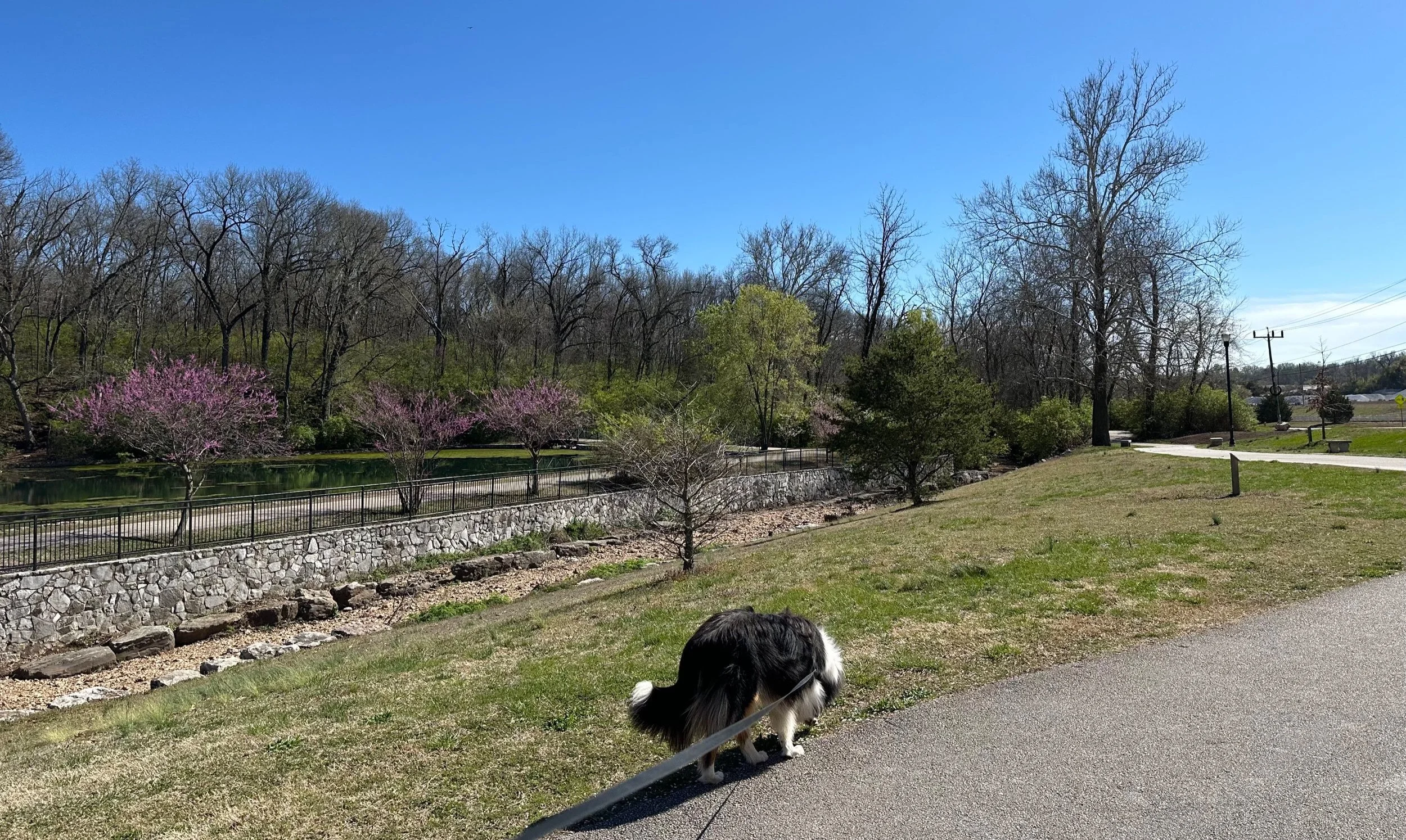
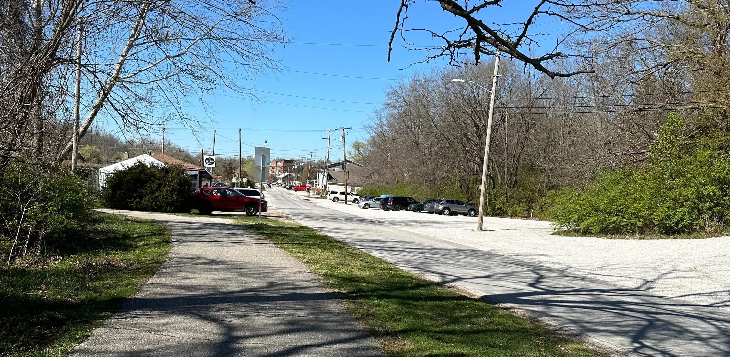
From the park you can head north or south on the trail. Lured by the expectation of a more wooded walk, Birdie and I chose to go south, following Galloway Creek along a shaded path until we left the trees behind for the developed area of Galloway Village. This is the direction to take if you want to stop for a beer or a burger in the middle of your hike. Or you can stop for little retail therapy. Or you can get a mortgage. This really is a nicely diverse yet quaintly rustic business district.
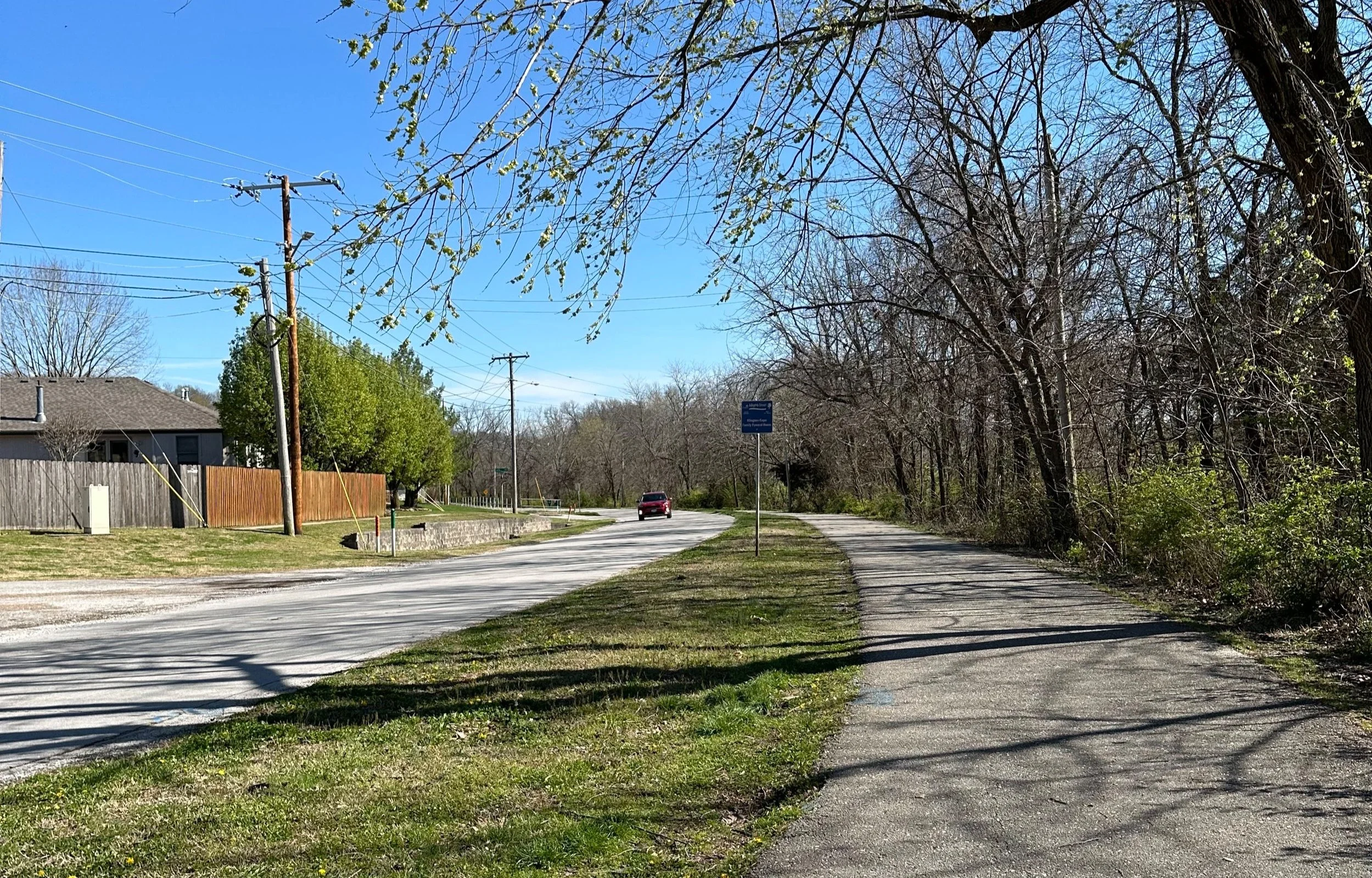
Past the business district, a residential rural feel returns. You know you’re not alone in the woods but you can imagine being there if you ignore the road traffic and the nearby homes.
Full confession, Birdie and I were short on time and only did a few miles of the trail,, so I can’t report on the entire five miles. But I can share a few impressions and tips:
If you’re walking a dog as I was, stay alert. You’re sharing the trail with bikers who may be whizzing by, and, since you need to keep your ears open for a shouted “on your left”, this not the trail for the AirPods. You’ll also want to leave the extendable leash at home or have it locked into a short length to reduce the risk of a biker becoming entangled in your dog’s leash.
Wear good walking or hiking shoes. The urban surroundings and good pavement may lure you into thinking normal shoes will suffice, but you may quickly regret that choice. I was wearing the same Ecco boots that carried me comfortably up to eight miles a day during my recent big city vacation, but the pound-pound-pound of walking several miles without a break worked its way through the soles of my boots to my foot. Go for the better arch support.
If you’re friendly or even polite, don’t expect to get your best work-out on this trail. Especially if you’re walking a dog. This is a well-traveled trail and you’ll have so many friendly folks wanting to stop and tell you how cute your dog is that it’s almost impossible to keep your heart rate up.
All those friendly folks are a big plus for anyone concerned about safety. I’ve been on trails so untraveled that I didn’t pass a single soul for miles and, especially as a woman, that kind of isolation can feel threatening. Here, you’ll rarely be alone. If the old adage that there’s safety in numbers is correct, then this is a safe trail.
Have a great hike!